DJI Enterprise

Natural Resource Management

Drones enable large-scale, detailed surveys of natural resources, providing accurate maps and models as well as telemetry data.

Natural Resource Management Key Benefits

Forest Management

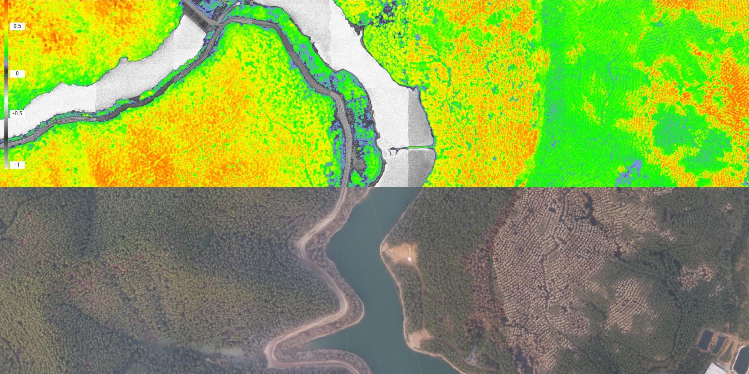
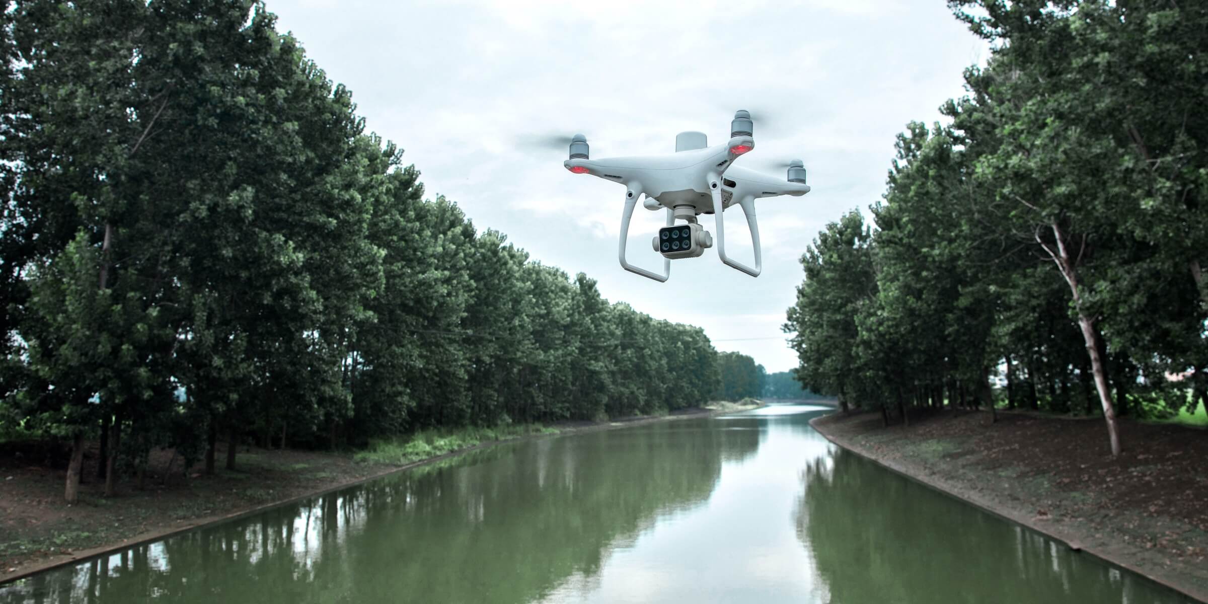
Deploy drones with high-resolution visual sensors and multispectral sensors to map forests, sample vegetation, or monitor and manage the health of forests and wildlife.

Water Resource Management

Map around surface water, outfalls and more with drones to obtain data on-demand, facilitating resource management and compliance monitoring across vast areas.

Forest Management

Traditional Challenges in Forest Management

Mapping heavily-vegetated, often mountainous areas on foot is time-consuming, expensive, and dangerous to the operators.

The data collected could be limited in both scope and scale, making it difficult to create comprehensive profiles that can be shared with different teams.

How Drones Help with Forest Management

Quickly take off and fly over rivers, lakes, reservoirs and more to capture data using automated flights, reducing costs and cutting fieldwork hours.

Aerial imagery helps classify water bodies, estimate water coverage, and monitor sewage.

Related Products

Slide 1

Mission Oversight Platform

Matrice 300 RTK

Oversee missions as they develop, identify threats to firefighters and bystanders, and arm ground teams with rea-time aerial intel.

Payload and software

Slide 2

Quick Deployment Thermal Tool

Mavic 2 Enterprise Dual

Take off quickly and gain immediate aerial awareness of the fire, enabling safer and effective commands to be made.

Slide 3

Drone Platform

Mavic 2 Enterprise Advanced

With thermal and visual sensors, the M2EA supports 32x digital zoom and is capable of centimeter-level positioning accuracy with the RTK module.

previous arrow
next arrow

Water Resource Management

Traditional Challenges in Water Resource Management

Mapping surface water requires long hours and many people, while the environment can be hard to access on foot.

Satellite data is expensive and cannot be accessed on demand, while the resolution and data accuracy are subpar.

How Drones Help with Water Resource Management

Quickly take off and fly over rivers, lakes, reservoirs and more to capture data using automated flights, reducing costs and cutting fieldwork hours.

Aerial imagery helps classify water bodies, estimate water coverage, and monitor sewage.

Related Products

Slide 1

Mission Oversight Platform

Matrice 300 RTK

Oversee missions as they develop, identify threats to firefighters and bystanders, and arm ground teams with rea-time aerial intel.

Payload and software

Slide 2

Quick Deployment Thermal Tool

Mavic 2 Enterprise Dual

Take off quickly and gain immediate aerial awareness of the fire, enabling safer and effective commands to be made.

Slide 3

Drone Platform

Mavic 2 Enterprise Advanced

With thermal and visual sensors, the M2EA supports 32x digital zoom and is capable of centimeter-level positioning accuracy with the RTK module.

previous arrow
next arrow

Explore More Content

  • All Posts
  • Latest Updates
  • Discover
Load More

End of Content.

Explore More Content

Blog

Why A Drone Program Makes Sense in a Digital World

Blog

Can Drones Help Your Surveying Business

Explore More Contents >