


- Industries
Government
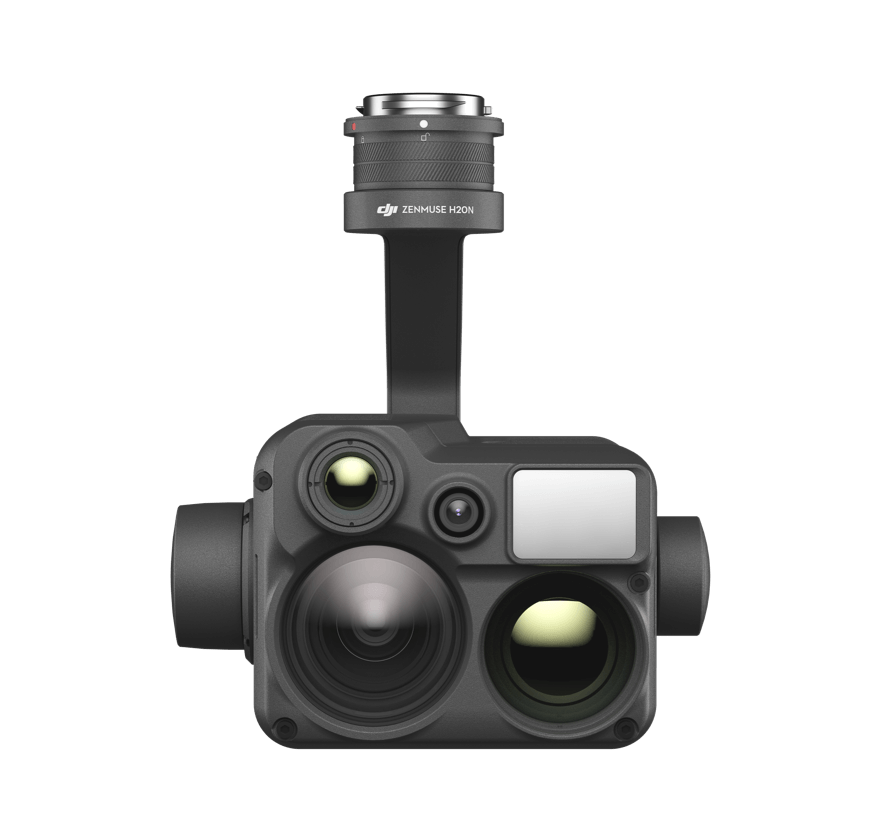
- Products
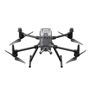
Drones
Aerial tools for your daily tasks
- Dealers
- Support
Service Request and Inquiry
Start your service journey
DJI Care Enterprise
Comprehensive Fleet Protection
UTC Training
UAS Training Center
Fly Safe
Tips, Regulations, and Geo Unlocking
DJI Maintenance Program
Keep Your Fleet Online